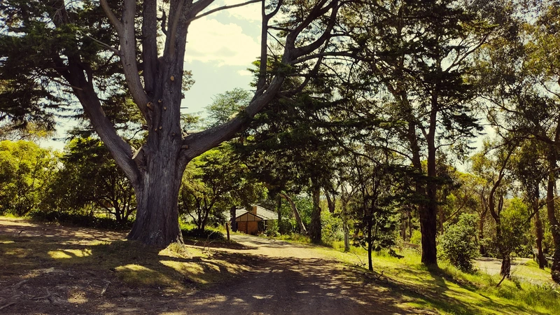
An enjoyable short walk around Panton Hill, that is quick to do with great scenery.
Park your car anywhere near the oval. This may be a problem if there is a football match on. There is plenty of parking at the nearby tennis club, which is down the road about 200m.
The start of this walk is much easier to find now thanks to a nice obvious sign along Bishops Road.
Walking the route is straight forward. The text gives two options, but from the map below it appears that each option is either end of the bottom loop.
The walk is quite steep in places, and on the weekend expect to find a few other fellow trekkers.
After doing the bottom loop there’s the option of going a different and easier way along Rodger Road, or return via the longer scenic bush track used at the start.
Overall it was an enjoyable scenic walk.
Panton Hill Tennis Club
Almost at the end of the walk is the Panton Hill Tennis Club. Having played competition here several times, it was sad to see the courts falling into disrepair.
Many of their players have aged out, and they currently have no teams playing, and it’s uncertain if the venue is even used for social play.
Hopefully, tennis will be revived by younger players.

Walk Description
From the Eltham Environs Walking Group, walk 34M
Commences at the car park opposite Panton Hill Living and Learning Centre, Bishops Rd. Walk about 100m along Bishops Rd to a T intersection. Turn left here, to enter Bunjil Reserve. The entrance is between properties with the numbers 15 and 21. A path of varying width winds through the northwestern section of the Reserve. After about 25 minutes walking, tracking initially southeast, then west, a dam might be noted on the right during a short steep pinch. At the top of this rise, and just beyond Chinaman’s Gully, is Rodger Rd. Rather than walk along the road, turn left onto a narrow track; a star picket fence set about 10m back from the road separates the road from the track. After walking a few minutes on this track, a substantial track enters from the right.
At this juncture, these are two options, the first longer than the second:
- Veer left. Chinaman’s Gully is crossed almost immediately, after which the track climbs steadily. A relatively steep descent follows, at the bottom of which a second track with a series of steps enters from the right; pass this. Almost immediately Long Gully Creek needs to be crossed; after wet weather, this area is muddy, but negotiable. A short walk between old mine shafts leads to Long Gully Rd. Turn left here, and after walking 800m along the road, turn left into Bakehouse Rd. Follow Bakehouse Rd for 1.9km, at which point the road divides. The left branch is Merritts Rd; follow this, turning left at the Memorial pavilion on the left, to return to the cars.
- Turn right, and follow the track up to rejoin Rodger Road. Rather than walk onto the road, continue on the track, which initially tracks along the ridge, then descends steeply to Chinaman’s Gully. The descent is via a path with star picket railings on either side. At the bottom of the steps, turn left. The track is initially steep, but then less so in a further crossing of Chinaman’s Gully. At the T junction, turn right onto the track located just below Rodger Road. After passing the point where the track meets Rodger Road, return to the cars on the track used at the beginning of this walk.
ª Bunjil means ‘Wedgetail Eagle’
The Map
Max elevation: 204 m
Min elevation: 101 m
Total climbing: 1215 m
Total descent: -1209 m


One thought on “Bunjil Reserve circuit, Panton Hill”