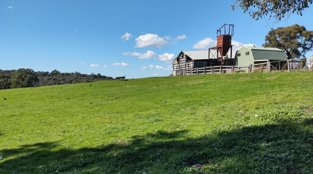
A walk with beautiful scenery, close to Eltham, but means walking on a main road at the beginning and end.
A walk that vastly improves once you get off Black Gully Road. When this walk probably first appeared on the Eltham Environs Walking Group, Black Gully Road was most likely an unsealed quaint country land and not too busy. But now its surface makes it look like a main road with traffic to match.
From the Millthorpe Road turn off, the rural scenery is beautiful and serene. Plus, the roads are unsealed, quiet and much more pleasant to walk along. Only several cars were encountered.
At the end of Hacketts Road, you meet the even busier Ironbark Road. Fortunately, there is plenty of space on the roadside to walk, unlike walking along Black Gully Road.
Overall, a good walk to do that is close to Eltham.
Walk Description
From the Eltham Environs Walking Group, walk 45M
Commences at the corner of Ironbark and Black Gully Rds. Initially walk along Black Gully Rd (verge narrow in places, so care needed), then make a series of left-hand turns: first Millthorpe Rd, then Astons (not sign-posted, but it is the first left hand turn possible, and part-way down a hill)), followed by De Fredericks, Hacketts (not really a left turn: more straight ahead) and finally Ironbark Rd to return to cars.
Note that Eisemans Road, which is about 100 metres beyond a minor road named Blackers La, may not be signposted. Do not follow Eisemans Rd, as it will involve a detour to return to the cars. Instead, stay on De Fredericks Rd for about 500 m. At this point, De Fredericks Rd then turns right. Continue straight on, as noted above, following Hacketts Rd, eventually turning left into Ironbark Rd to return to the cars.
Length: 7.5 km.
The Photos
The Map
Max elevation: 196 m
Min elevation: 96 m
Total climbing: 1003 m
Total descent: -1004 m


