A delightful walk in Christmas Hills which makes a pleasant way to spend a couple of hours in the outdoors.
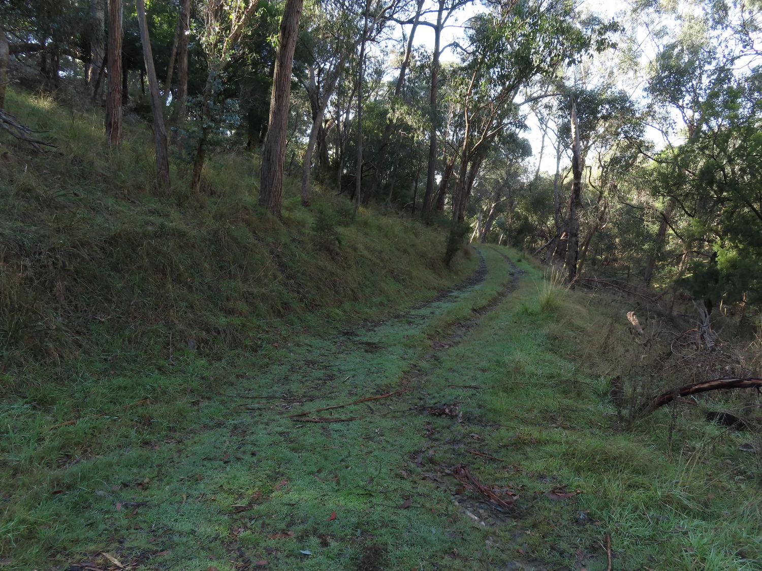
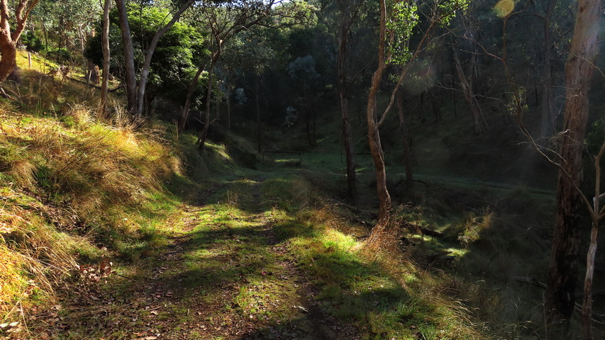
The walk is easy to do with only two mild grade sections to walk up and down. The scenery is lovely, especially along the almost over grown Roberts Road.

I thought this walk may be hard to navigate, but there are clearly marked signs, you just need to be vigilant for them.
At two places there are vertical markers with “Joyce” and “Lyrebird” welded onto them. There’s no information available but they probably mark the locations of properties or farms that were once there.

We walked the top loop in a clockwise direction, but it could be done the other way.
Walk Description
From the Eltham Environs Walking Group, walk 48E
Commences at the corner of One Tree Hill Rd and Roberts Rd, Christmas Hills, off Eltham-Yarra Glen Rd. Turn left off the Eltham–Yarra Glen Rd onto One Tree Hill Rd (1.5km past Christmas Hills Primary School and immediately after you pass Ridge Rd on the right). Drive 1.6km along One Tree Hill Rd. to a small parking area on right-hand side of road, next to farm buildings and gates. Road access is blocked, but a pedestrian gate alongside the parking area leads to Roberts Road, a wide and clearly defined, though unmarked dirt track. Walk along the track, going around another gate.
Note that this part of the track can be muddy after heavy rain. About 2.3 km in there is a track to the left, up the hill. Take this track. After about 0.5km the track emerges onto open grazing land and joins another track (Rifle Range Track) coming from the left. Continue to the right and up the hill back into trees.
After about another 0.5km the track splits – take the right-hand track down the moderately steep hill. After 0.5km, take the right hand turn into track. This is Roberts Rd. again. One km along, this track returns you to where you turned to walk up the hill. Continue straight along Roberts Rd back to the start of walk (another 2km). Note the Greenhood orchids growing in the area.
Note: You can do a shorter version of this walk by continuing along Roberts Rd. (do not take track to left and up hill) until you reach a T intersection, and returning the same way.
The Map
Max elevation: 335 m
Min elevation: 210 m
Total climbing: 226 m
Total descent: -217 m


One thought on “Roberts Road circuit, Christmas Hills”