26th May 2020
After the COVID-19 restrictions were lifted after almost three months we walked again one of our most favourite walks in the district.
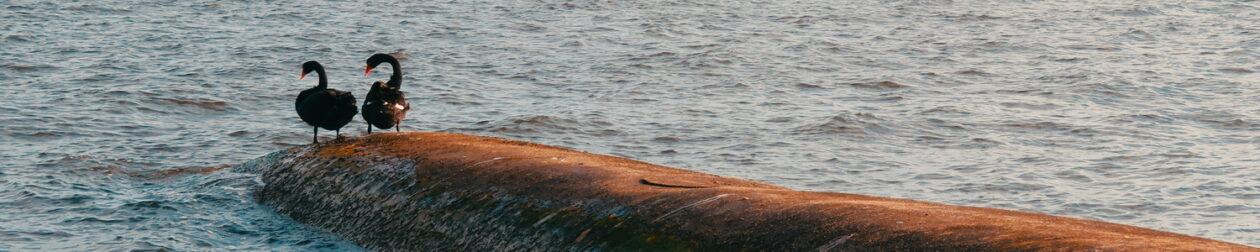
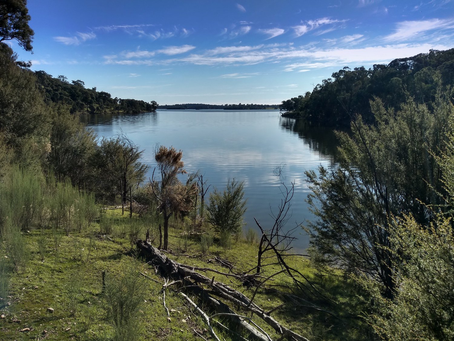
This time Karen and I parked along the Ridge Picnic Area Road and walked straight down to one of the few areas where fishing is permitted. Last time we missed this entire area.
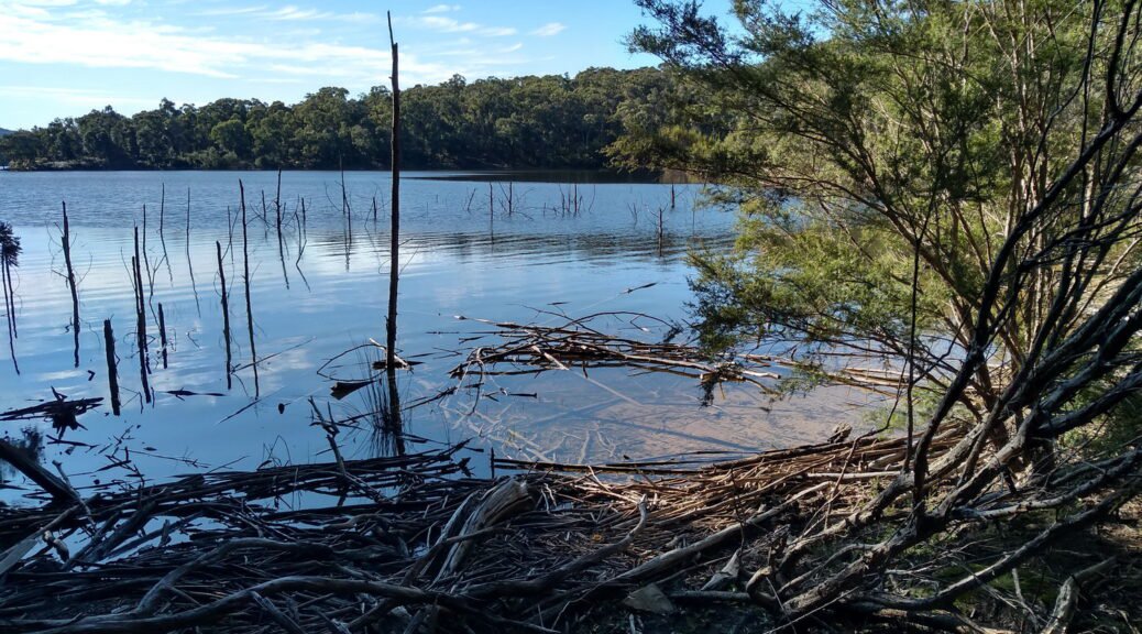
A fine sunny day and not in summer is the best time to do this walk. There are no flies and the cool weather makes the trekking easier. It had rained over a number of days beforehand making the track very muddy and wet in places. To get over some water obstacles I placed branches on the path so we could step across. There were a number of fallen trees blocking the path so some serious maintenance needs to be done.
On the last walk we saw only a couple of people fishing, but today it was much busier.
We encountered:
- 14 walkers
- 3 joggers
- 1 fishing
- 1 cyclist towards the end
There were as many people walking along the dam walls. It’s possible it’s busy because the COVID-19 restrictions mean you can’t do much else besides walking to exercise.
23rd October 2015
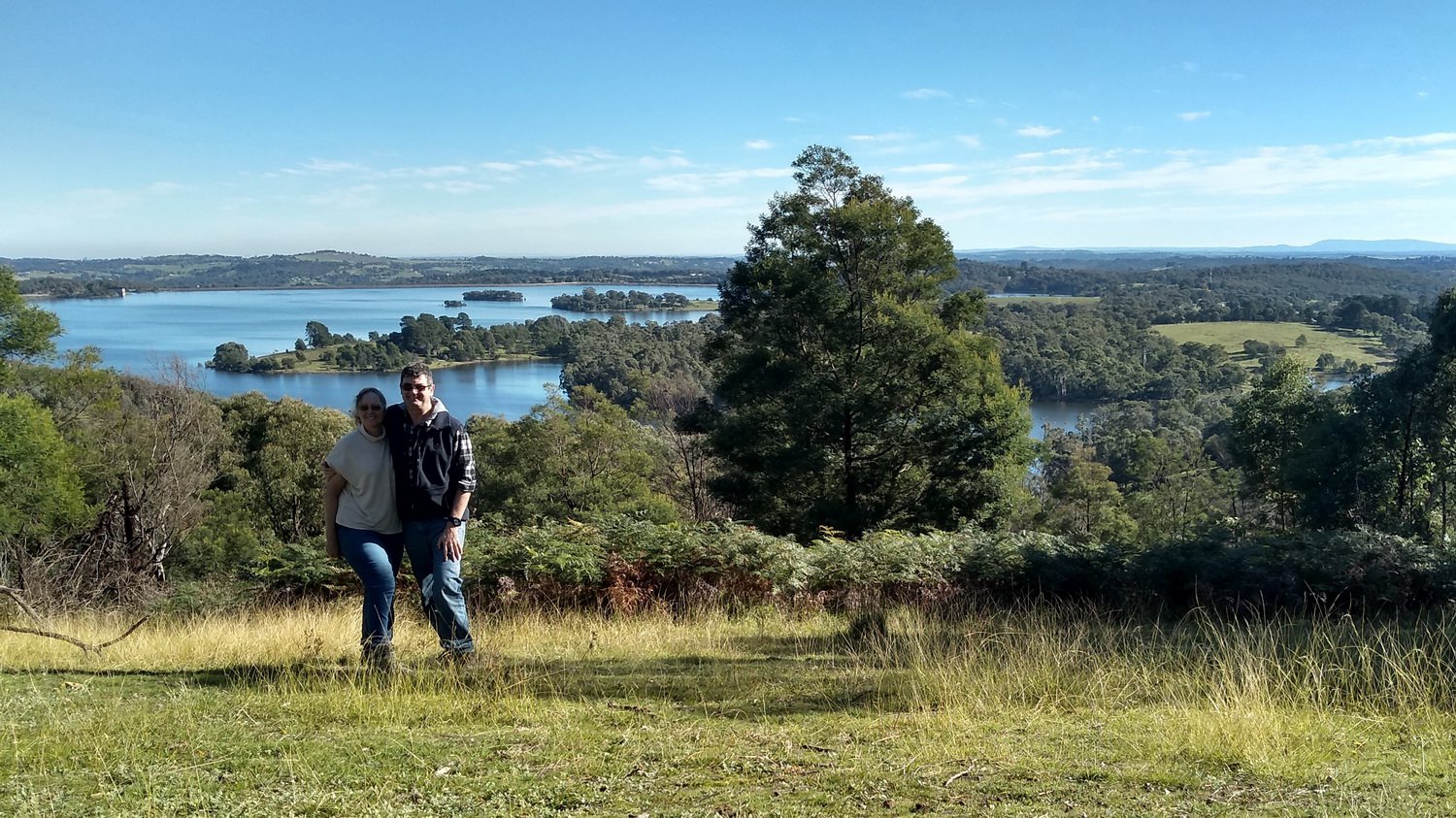
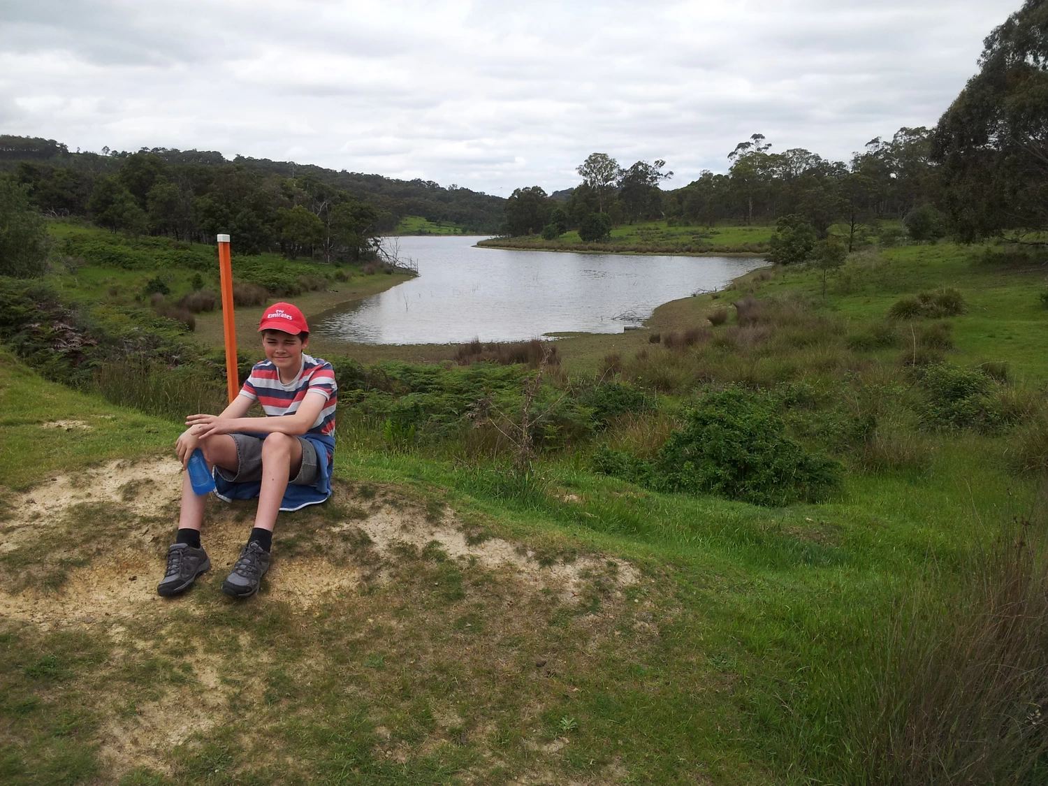
Circumnavigating Sugarloaf Reservoir, guided by Top Walks in Victoria by Melanie Ball.
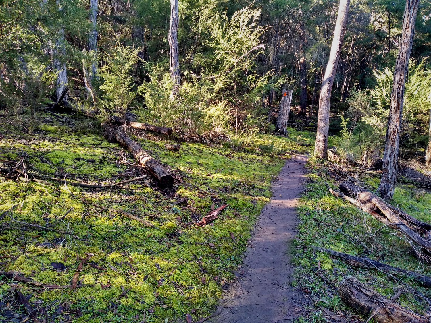
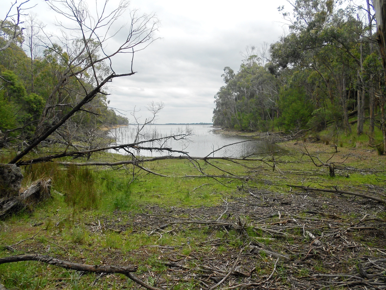
Most of it was marked by orange markers, but in a few places the only way was to follow the shoreline until another marker was sighted.
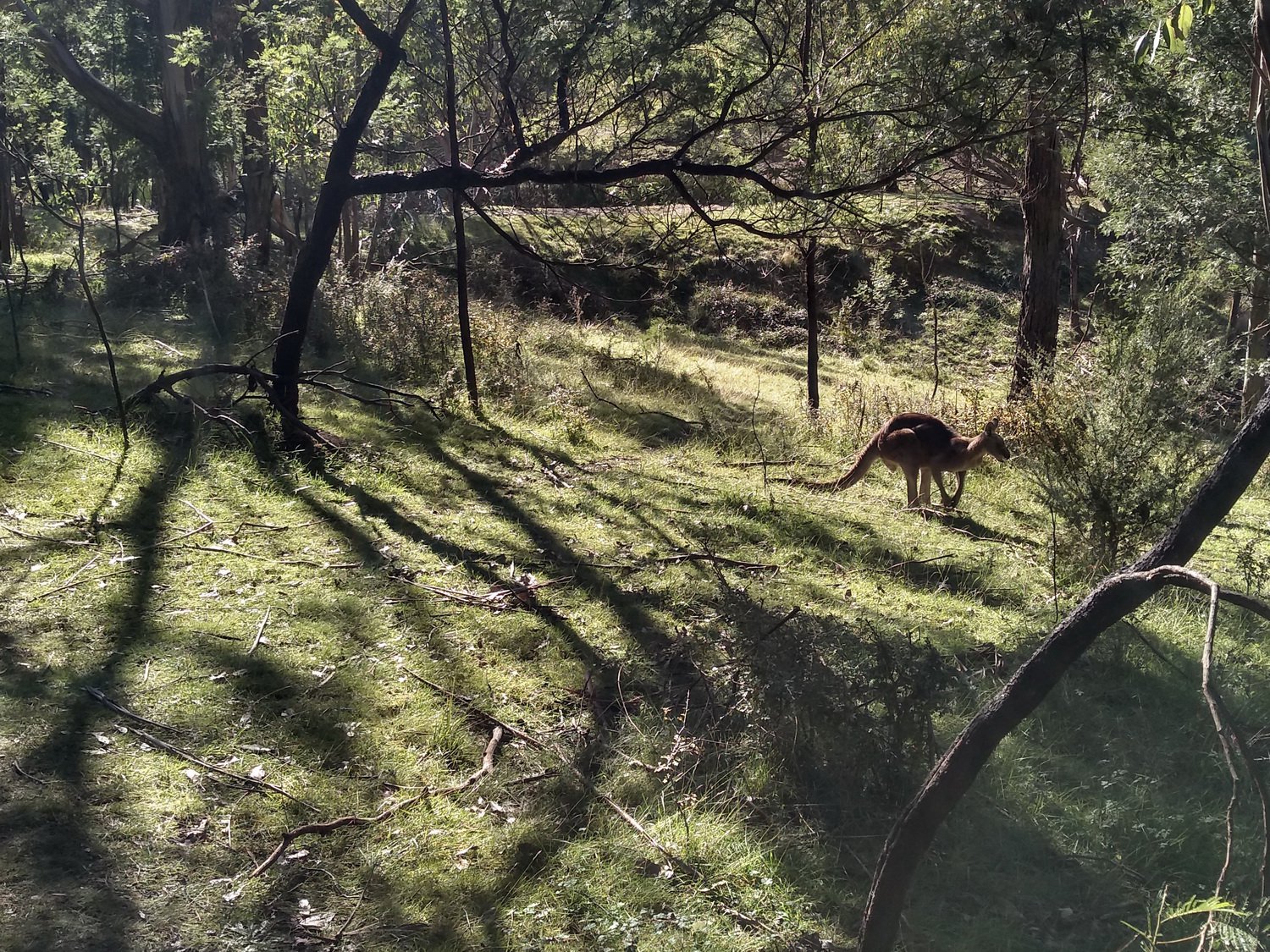
At 18km (16km according to the book) it was our longest walk to date. The scenery and terrain varied from rural, industrial, to bush. Well worth doing despite the aching legs and feet at the end. Kyle and Connor led most of the way and coped very well.
The Photos


One thought on “Circumnavigating Sugarloaf Reservoir”