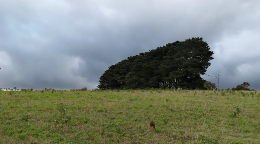
Featuring bushland, farmland and a creek, this walk has much variety to keep you motivated walking.
The description is correct except for on Turnung Road it says to stay straight instead of following the road, we stayed with the road as it’s easier to find and walk on. Going straight appeared to take you into dense bush, although it was getting dark for us at this time and the diversion was missed.
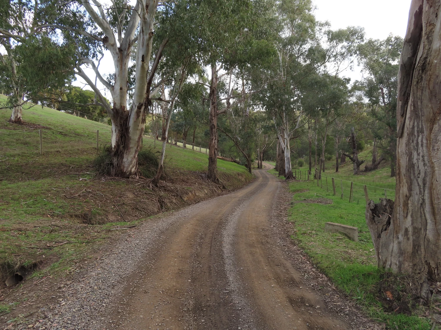
If the 100m or so of “overgrown” road which runs off Gills Road was not gated off you would be able to drive your car along the entire walk. But for some reason the council has gone to considerable expense with two very sturdy gates.
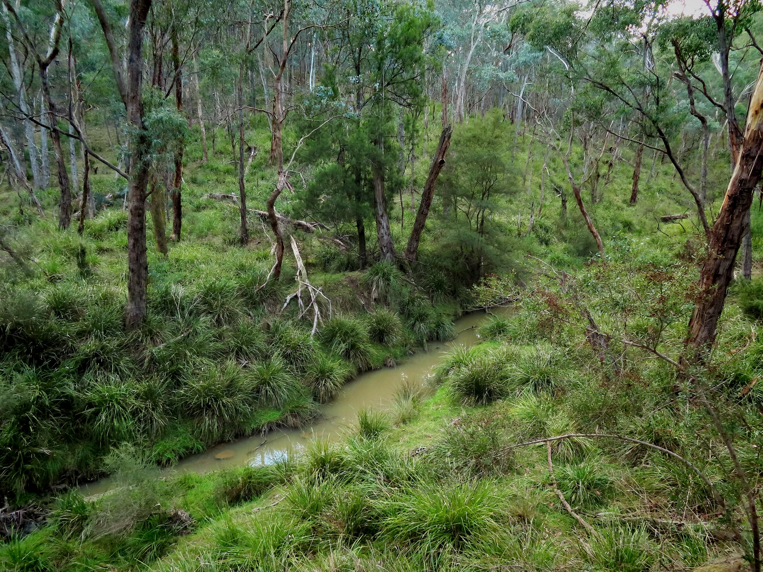
The scenery is lovely, as with many walks in the area, although walking adjacent to Watsons Creek along Long Gully Road was getting a bit monotonous towards the end.
Walk Description
From the Eltham Environs Walking Group, walk 62M
Commences in Old Eltham-Yarra Glen Rd, which is just off the main Eltham-Yarra Glen Rd, and about 1.1km beyond the Watson’s Creek Antique Store. Walk 250m, then turn left into unpaved Gills Rd. A house and gate at the end of this road are reached after about 700m. Look for a track off to the right, and located below the road.
Follow this track (actually an overgrown road) through to Turnung Road (not sign-posted) entering from the left. Turn left here, and follow the road downhill to a T junction. Turn right here, into Long Gully Rd, and follow the level road to the point where it intersects with Bakehouse Rd on the left, and the Southern arm of Motschalls Rd on the right.
Turn right up the moderately steep Motschalls Rd to a T junction. Here you are rejoining Turnung Rd (not sign-posted). Turn right. After 900m, Turnung Rd veers right. Instead of continuing on this road, walk straight ahead. You have rejoined the narrow track used on the forward journey.
After walking 300m, you are back onto Gills Rd. Follow Gills Rd back to the cars.
The Map
Max elevation: 202 m
Min elevation: 93 m
Total climbing: 419 m
Total descent: -425 m

One thought on “Gills Road circuit, Watson’s Creek”