A fine walk through the rural scenery of Panton Hill, and it’s only 6km long. I got this walk from the Eltham Environs Walking Group.
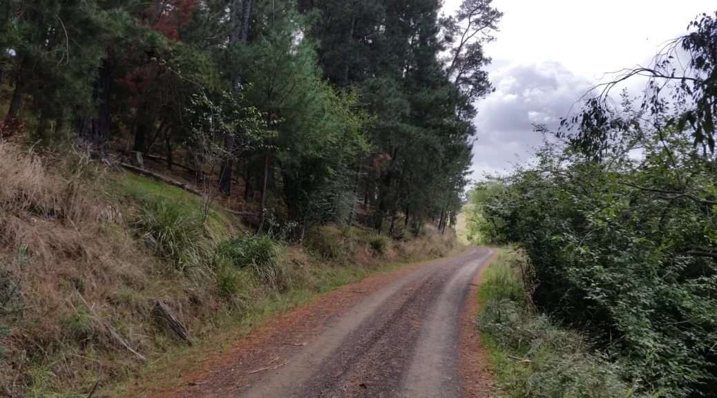
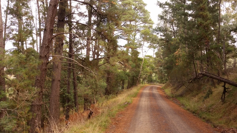
Walking along Motschall Track you follow a scenic dry stream along the road. The left turn to the connecting track is clearly marked. This part was the highlight of the walk and where we encountered our first cyclist on a walk.
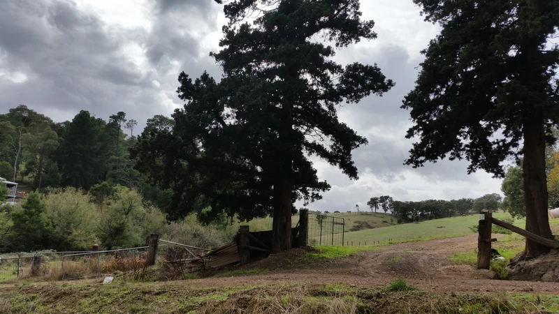
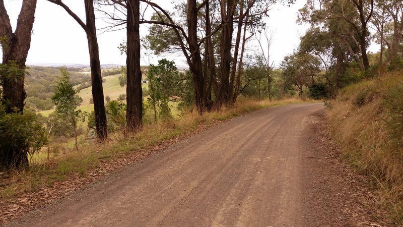
Approaching Clintons Road the track borders on a carefully manicured large private property. Next the path crosses a very neat gravel driveway and continues on up the hill. Here you can walk on the road or to avoid the ten cars we saw you can use the foot track all the way to Broad Acres Road which is at the high corner of the riding club facility.
Optional Rob Roy Hill
Once you reach Rob Roy Road there is an optional leg to go up and down Rob Roy Hill Climb. As we were running behind time it was left out.
Riding Club
The track finishes near the riding club and before here we encountered five more cyclists! So once you get to Broad Acres Road you are walking on a road again, but this gravel road is very quiet and we encountered no traffic at all.
Back to the Car Park
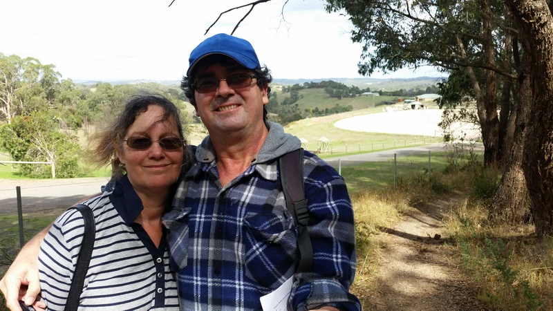
Reaching the car we found the “car park” almost full, with people about to go gold panning. There is some gold still there but it’s more recreation than anything else. Probably more successful than going fishing.
As the walk is only one and a half hours long, you can go on another one; or do what we did and have a pint and lunch at the nearby Panton Hill Hotel.
Walk Description
From the Eltham Environs Walking Group, walk 50M. Mel 264 E9.
Motschall Track to Rob Roy, Panton Hill. Commences from the corner of Motschall, Broad Acres and Long Gully Rds. Walk 1km along Motschalls Rd to a point where the road veers south (on the right, high on a hill, is an old shed). Take the track to the left of the road across a culvert, tracking for 1km through to an easement adjacent to the property at 290 Clinton Rd. Turn left along Clintons Rd for 200m to Rob Roy Rd.
Optional
Turn right, up hill to end of Rob Roy Rd (there is a sealed driveway on your left leading to a two-storey house).
To return to the cars, retrace steps to Clinton Rd, turn right and walk along verge of Clintons Rd for 1km, noting the St Andrews Pony Club on the left, then turn left into Broad Acres Rd, proceeding a further 2.3km.
Map
Max elevation: 197 m
Min elevation: 64 m
Total climbing: 304 m
Total descent: -290 m
Total time: 01:51:19
The Photos

One thought on “Motschall Track to Rob Roy, Panton Hill”