
One of the best walks so far, featuring beautiful scenery and a cafe serving lovely coffee and delicious cakes.
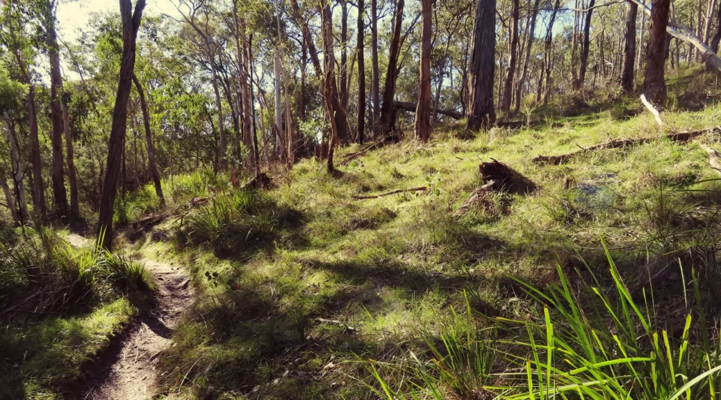
The four Panton Hill Reserves walk is a real highlight of the area. The path is listed as a mountain bike trail, which is surprising as it gets very narrow in places. We didn’t see any bikes but be prepared to jump out of the way!
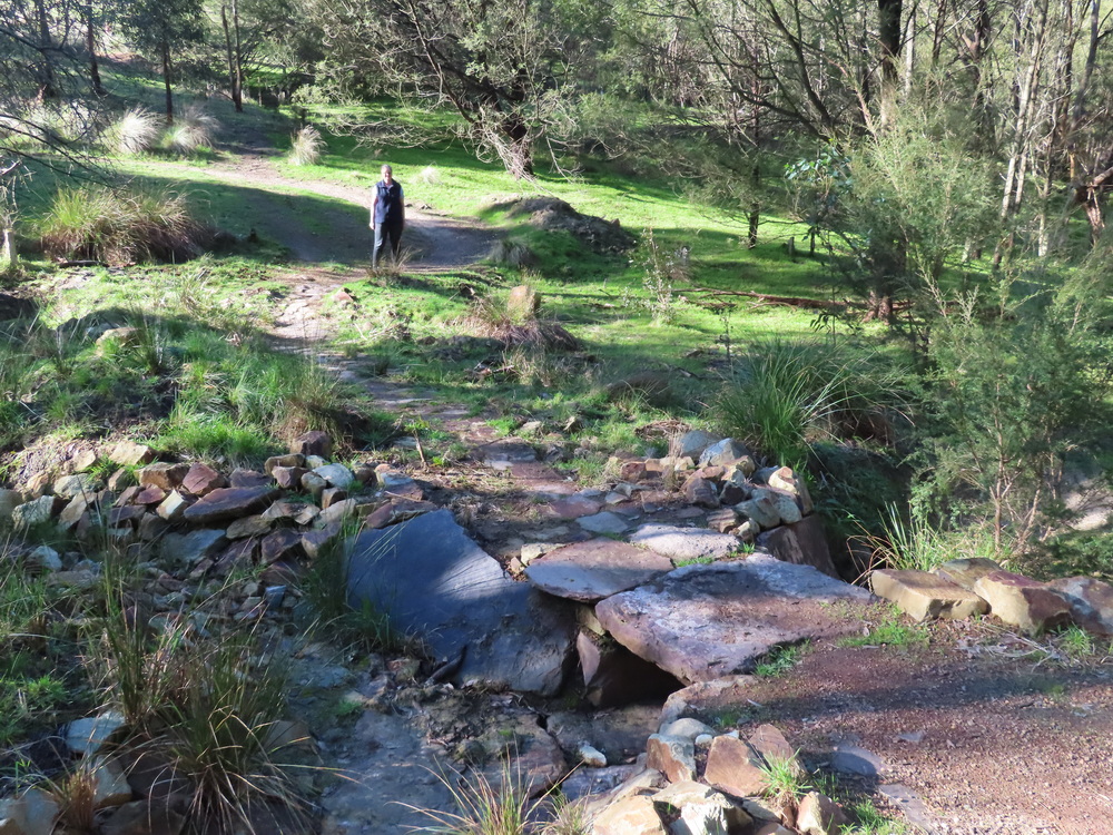
With excellent and new signage, the walk start is easy to find. The whole route is well looked after, with a couple of crossings made with large rocks, which would have taken quite a bit of effort to make.
Some parts of the description are not accurate. It says to walk between house numbers 127 and 115, but only 27 and 15 are present, so maybe house numbers have been redone at some time. Along with the rest of the walk, there is obvious signage to guide you.
The only downside of the day was the walk along the main road. It’s not too busy and there’s room to walk along it. But it’s more than made up for by the delicious coffee and cakes available at the Smith’s Gully General Store. It made for a well-deserved afternoon tea.
Mud is mentioned in the description but with the track well-constructed water is not a real problem.
Walk Description
From the Eltham Environs Walking Group, walk 55M
Commences at the bridge across New Chum Creek near the intersection of Long Gully, Motschalls and Broad Acres Roads. From the base of the bridge, follow the track that runs along the east side of Wimbi Reserve. At a point where Howards Rd (on the left) and Bluehouse Rd (on the right) meet in a series of intermittent puddles, look for a track directly in front of you, midway between these roads, and which runs north through Yanggai Reserve.
After about ½ km, this track forms a T with an old fire access road; turn right, and walk-through Boomers Reserve to Bluehouse Rd, ignoring, at one point, a track coming in from the left. Turn left at the road, and after a short distance look for a track on the right that runs between two properties, the first of which has the street number 127 on both an old post and an old car. The second property has the number 115, and you have gone too far if you walk past this.
The 1½ km track was rerouted in 2010, and though narrow is clearly defined. It now hugs the northwestern boundary of Bulwidj Reserve, traversing two gullies before rejoining the original path through to Clintons Rd (and opposite Smith Gully Rd). Turn left at Clintons Rd, then left again onto the main Kangaroo Ground-St Andrews Rd. At Bluehouse Rd, turn left, and walk initially on a road flanked with houses, and then on what is a fire access road.
Ignore roads or property entrances coming in from the left. At its lowest point, Bluehouse Rd is usually a muddy pool, but this can easily be side-stepped. The road rises slightly over about 20 metres. Here, look for a narrow track on the left, rather than following Bluehouse Rd to the point where it meets Howards Rd. You are now back on the track that traverses Wimbi Reserve, and this will lead you back to the cars.
The Aboriginal names given to three of these reserves have the following meanings:
- Wimbi = Swamp Wallaby.
- Yanggai = Yellow-tailed Black Cockatoo.
- Bulwidj = Box Tree.
The Map
Max elevation: 219 m
Min elevation: 118 m
Total climbing: 220 m
Total descent: -228 m
Total time: 02:21:11

One thought on “The Four Panton Hill Reserves”