A short 6.5km walk taking in many scenic water features and bushland.
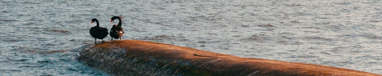
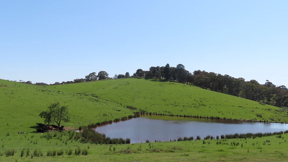
This walk is one of the best I have done for a long time. The scenery is beautiful and varied. There are large dams to admire (one is like a wide river), bushland and distant views of hills.
From the description, I thought it would be difficult to navigate. The walk start is on the right from Couties Road and is signposted. Simply follow the driveway that extends Couties Road and you can’t miss it.
To start the walk in the opposite direction, go through the gate to the right of the private driveway and walk along the track that follows the fence along Couties Road.
Off Course
After the two dams off Glenvern Road, we drifted off course into a private property just before reaching Butler Crescent. So stay left after passing the two dams as close to the fence as possible. From the Butler Crescent end, the track is easy to see, but from the other end all you can do is stick to the left and try to follow the convoluted fence line.
Open Street Maps (below), shows the track to Butler Cresent as a red dotted line, the route we should have taken, but Google Maps does not.
Walk Description
From the Eltham Environs Walking Group, walk 51M
Park at the end of Couties Rd. Turn left into a private driveway, then immediately right, and proceed along the easement to King’s Rd, then right into King’s Rd, then left into Dawsons Rd, and left into Glenvern Rd.
After 300m, take the left fork of Glenvern Rd, which heads downhill to 2 dams. A track beyond a gate is initially flat, then trends upwards mostly following fence lines, to connect with Butler Cres. Turn left into Alma Rd, and after 200m left into Cracknells Rd. Proceed to the end of the road, then take the track on the right.
This leads to Couties Rd and the cars. Note that in wet weather, this walk may be better undertaken in the opposite direction (a dam near Cracknells Rd can overflow)
The Map
Max elevation: 176 m
Min elevation: 90 m
Total climbing: 1533 m
Total descent: -1535 m
Total time: 01:55:41

One thought on “Kings, Glenvern and Cracknalls Rds Circuit, Panton Hill”