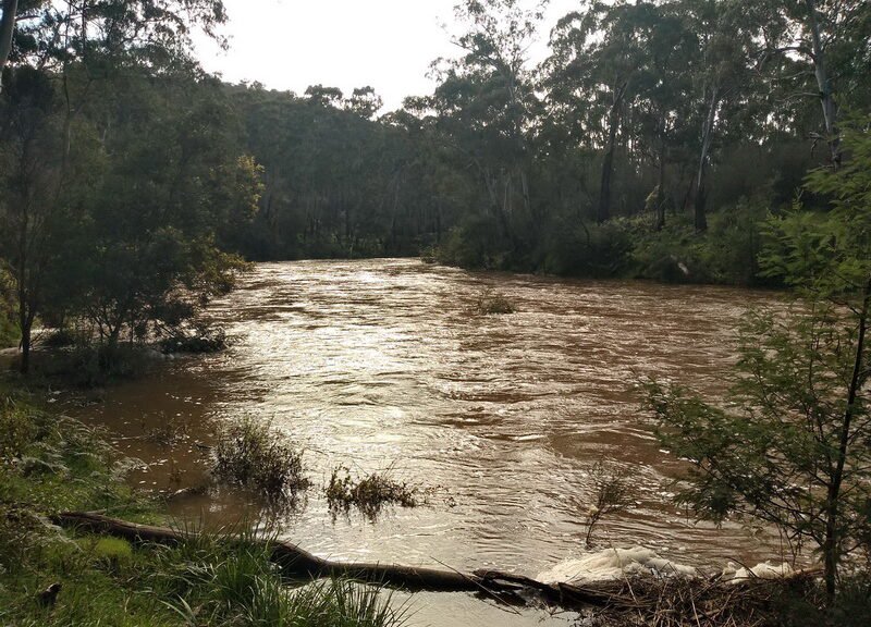
A pleasant walk off the end of Reynolds Road exploring around Laughing Waters Road. The area features and old homestead site, an Aboriginal ceremonial ground and of course the Yarra River.
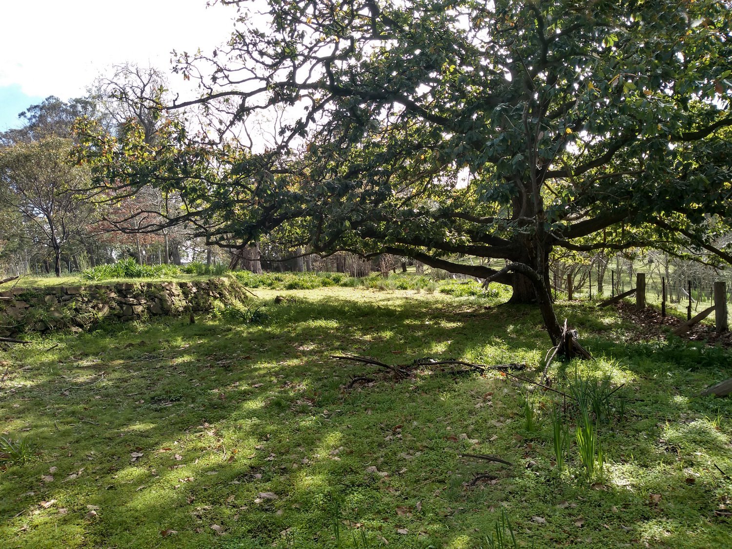
This walk starts by walking down Reynolds Road past the park gate. After about 300m down the rough Reynolds Road to the left there’s two posts marking the start of a vehicle track. Following this and eventually the old Killeavy homestead remains are reached.

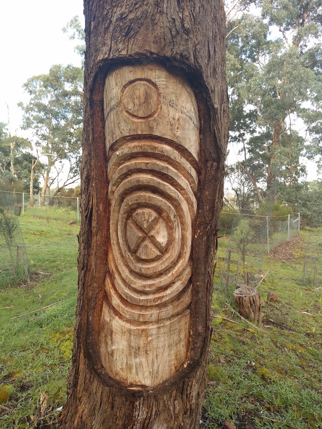
In August 2015 the council opened a Ceremonial Ground at Garrambi Baan (Laughing Waters). There’s a small ceremonial fire space with surrounding seating. Three trees were scarred to commemorate the event in recognition of the family groups that comprise Wurundjeri.
After looking around Killeavy return back to main track and walk up the hill. Soon a junction is reached. Right goes to the river and left continues up the hill and meets Laughing Waters Road. Walking down the road and continuing straight into the bush at the bottom of the hill returns you to Reynolds Road.
We returned to the junction and took the path to the river. After looking around and returning the way we came I noticed a small clearing to the left with a track through the overhanging vegetation. This track follows the river, then as you get close to Killeavy (having navigation on a smart phone is a big help) look for a track that goes up the hill which goes to the old homestead stairs, and then walk back to Reynolds Road and back to the car park.
Max elevation: 94 m
Min elevation: 24 m
Total climbing: 1346 m
Total descent: -1346 m


