An excellent walk close to Eltham located at the southern end of Reynolds Road.
Walk Map
Max elevation: 79 m
Min elevation: 20 m
Total climbing: 555 m
Total descent: -574 m
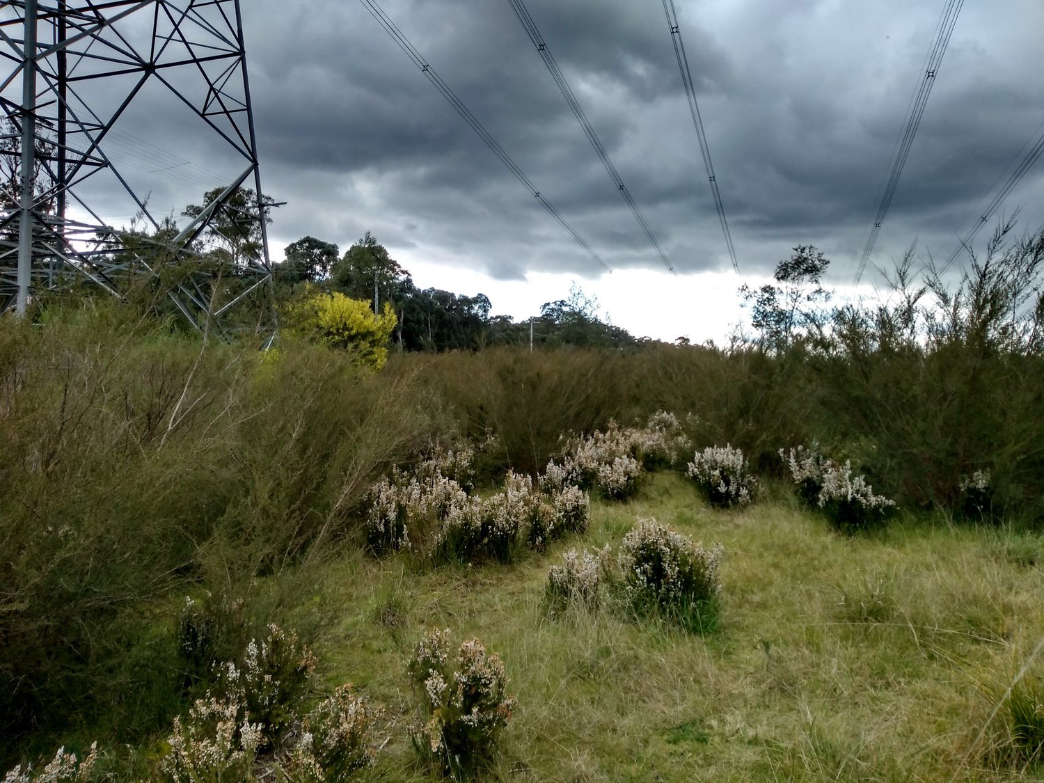
The walk start is easy enough to find being right at the southern end of Reynolds Road. We started on the track to the left, walking under the power transmission lines.
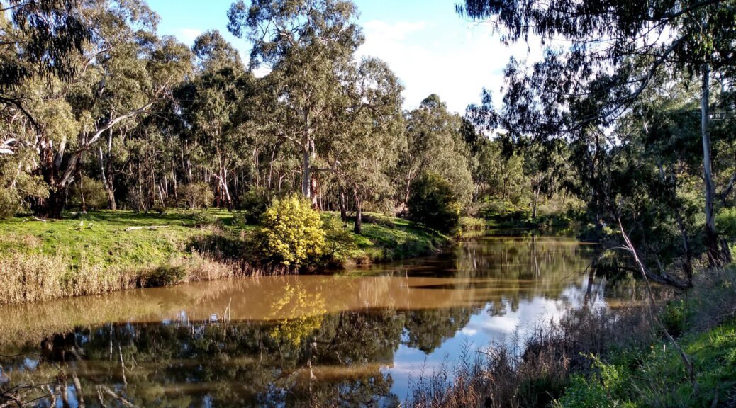
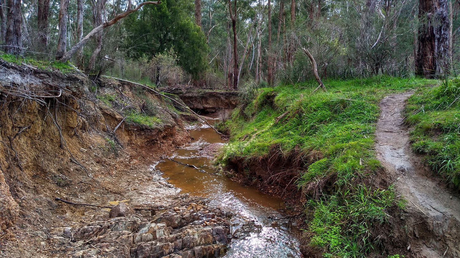
Meandering through the trees leads you to a waterway, which is almost narrow enough to jump across. But a bit too wide for us. Going via Laughing Waters Road would take you further down the river, and from the Open Street Map map (not shown on Google’s map) there is a path closer to the river which will be explored next time.
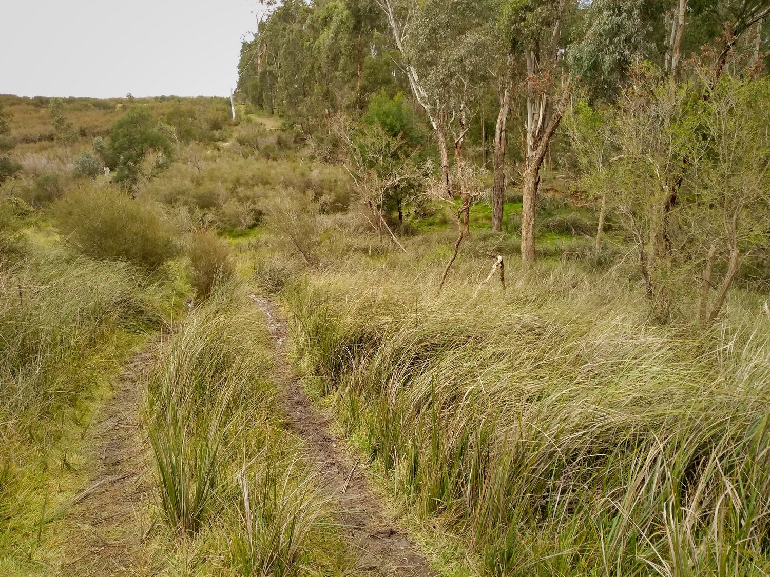
Having being stopped by the waterway we returned to the fence line and continued the loop down towards the Yarra River.
It’s hard to get lost as the river and the power lines are a good reference. In the bush to the west of the transmission line is another small waterway that’s easily crossed, and is well worth looking at.
Returning to the car via the extended part of Reynolds Road completed the walk.
This walk came from a suggestion by Jen Suzanne, a contributor to Eltham Life 3095 on Facebook.
