A walk with a number of options around the scenic rural roads of Kangaroo Ground, from Eltham and Environs Walking Group.
The description is accurate, and the tip looks like it will be closed off for quite some time. There was signage saying the north side was open for walking but it was lightly fenced off as of April 2022.
North or South
Reaching the T intersection where Pretty Hill Lane terminates, walking in either direction along Lorimer Road gives many pleasing rural scenes, and there are few cars to disturb the serenity.
We took the northern direction which eventually reached Kangaroo Ground-Wattle Glen Road and this was walked all the way back to the Graham Road Trail start.
Walking along the main road is not pleasant with fast busy traffic close to you. In places where there are crash barriers there’s only the narrow shoulder to walk on. Best to be avoided!
Walk Description
From the Eltham Environs Walking Group, walk 44E
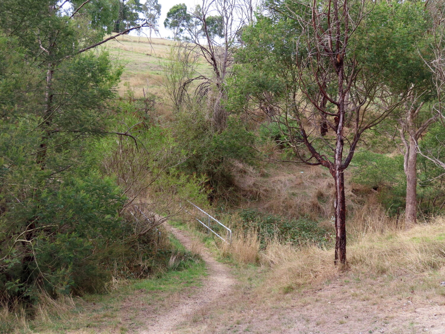
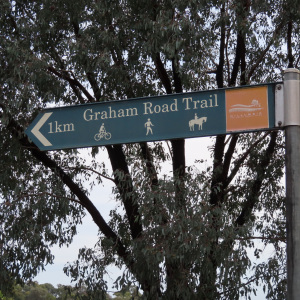
Commences at the western end of Graham Rd, adjacent to the former Eltham Tip. Proceed along the signed track around the boundary of the Wycliffe Centre, following the fence line on the left, then across the footbridge. Track continues uphill – at certain times of the year flanked by long grass. Turn left at Wattle Glen-Kangaroo Ground Rd, proceed 400m (with the possibility of long grass again), then turn left into Hillview Ct.
At the end, a horse trail becomes Pretty Hill Lane, and ends at Lorimer Rd. If there is time, and the chance to extend the walk, turn left at Lorimer Rd, and continue to the transmission lines or beyond to the junction of Lorimer, Reynolds and Orme Rds.
An alternative extension is to turn right at the Lorimer Rd-horse trail corner, and continue towards Kangaroo Ground-Wattle Glen Rd. How far you go along this section of Lorimer Rd will be dependent on time available. To return to the cars, follow the same route via the horse trail and Graham Rd Trail. Since 2011, the loop walk around the Old Eltham Tip has been closed. It may reopen in the future.
The recommended walk is to go along the northern part of Lorimer Road for as long as you have time and interest. The southern part could be tackled next, but it’s not as nice as the north.
When done back-track to the car. Lorimer Road can be explored by car on the way home.
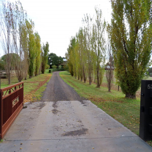
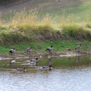
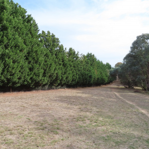
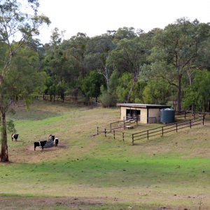
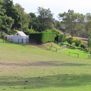
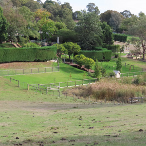
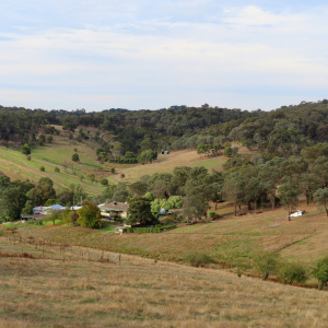
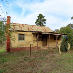
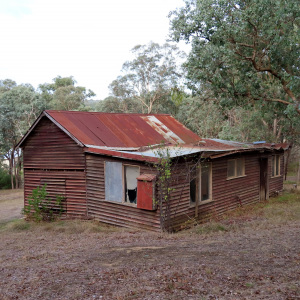
The Photos
The Map
Max elevation: 182 m
Min elevation: 48 m
Total climbing: 1016 m
Total descent: -1012 m


One thought on “Graham Road-Pretty Hill Trail, Kangaroo Ground”