This short ride has an optional loop along the Aqueduct Trail which has lovely views at the top of Allendale Road.
If you have enough energy after returning to Eltham travel through the township and onto Eltham Lower Park crossing over the Yarra River using the large trail bridge which will then take you to the Main Yarra Trail.
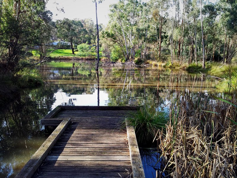
This very scenic ride takes you along the river where there are a number of places to stop with a lovely view to admire.
The Main Yarra Trail becomes the Mullum Mullum Creek trail where you can end your ride at Beasley’s Nursery.
This ride is a good introduction to:
Ride Details
Distance: 36 km (each way)
Lowest Elevation: 28 m
Highest Elevation: 115 m
Elevation Gain:
Route Map
Max elevation: 137 m
Min elevation: 14 m
Total climbing: 1673 m
Total descent: -1666 m
WP GPX Maps
This was short post to demonstrate WP GPX Maps with an interactive map of one of my favourite local training rides in Eltham. All you need for this plugin is to export your ride from your fitness app as a GPX file and upload it, then add a short code to your post. Very easy!
Currently there is an incompatibility with the latest version WP GPX Maps and the latest editor that WordPress uses; this website uses WP GPX Maps Version 1.6.07.
Another demonstration is at https://devfarm.it/wp-gpx-maps-demo/
More information about WP GPX Maps.
