I collect my walks to do from various sources, including books and walking groups. They are listed here for my own reference for when I first do them and when I walk them again.
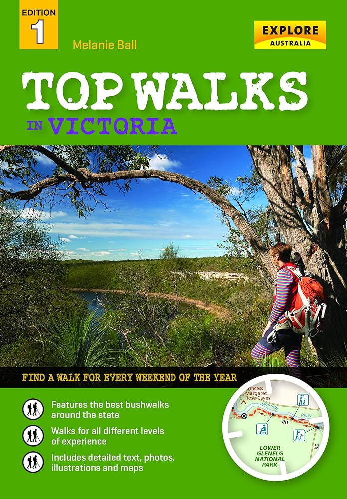
Top Walks in Victoria, by Melanie Ball
This excellent book has many walks for almost every area in Victoria. Some can be very difficult to do, so make sure to read the text a number of times before the day of the walk, and to take the book with you!
Some of the text is out of date. Doing the Beechworth Town and Country Walk, a large section of the track is now inaccessible, meaning a convenient loop is no longer possible.
Eltham and Environs Walking Group
The Eltham and Environs Walking Group had many walks and instructions, but since they have redone their website from Joomla to WordPress, and now to Weebly, all have been put behind a pay wall.
I took a copy from the web archive, and they are listed here. It’s possible some of the instructions are out of date, but as they are walked, photos and walking maps will be added and put into the “walks” category. Walks with the category “Walks to Do” have not been done yet.
The walks are all numbered with a letter following. “E” means easy, “M” medium and “L” is a mystery. Perhaps it means “long”.
The Areas
These are divided into:
Central Eltham – within 5 km of the Eltham Library
| 1M | Yandell Reserve, Apollo Parkways and Partingtons Flat, Greensborough | ||
| 2M | Butterfly Reserve and Woodridge Linear Park, Eltham | ||
| 6M | Karingal Drive and creek and Ryans Rd, Eltham North | ||
| 8M | Griffith Park and Sweeneys Flats, Eltham | ||
| 11M | Pecks Dam and Old Eltham Rd, Montmorency | ||
| 12M | Montmorency easements, Were St and the rail line | ||
| 17M | Kalparrin Ave, McLaughlans Lane and Plenty River, Greensborough | ||
| 20M | Rosehill and Old Eltham Rds, Lower Plenty | ||
| 22M | Scenic Cres and Ryans Rd, Eltham North | ||
| 1E | Maroondah Aqueduct to Allandale Rd13E | ||
| 10E | Edendale Farm to Diamond Street, Diamond Creek | ||
| 13E | Lower Eltham Park, via Lavender Park Drive, Eltham | ||
| 14E | Lower Eltham Park, via the Leisure Centre | ||
| 17E | Murray Wetlands and beyond, via Edendale Farm, Eltham | ||
| 20E | Petty’s Orchard and Tikalara Park, Lower Templestowe | ||
| 29E | Westerfolds Park ‘Home Show’ circuit, Templestowe | ||
| 23E | Yallambie Tennis courts to Willinda Park, Yallambie | ||
| 25E | St Katherine’s Church and Bushland Reserve, Greensborough | ||
| 32E | Bonds Rd to Warringal Park, Main Yarra Trail, Viewbank |
East
| 13M | Mount Lofty and Henley Golf Course, Wonga Park |
| 15M | Old Caledonia Gully and Black Cameron Rd, Smiths Gully |
| 16M | Long Gully Rd and Motschalls Rd, Panton Hill |
| 18M | Rifle Range Reserve, Smiths Gully |
| 23M | Yarra Glen to ‘Four Winds’ property, Christmas Hills |
| 25M | Hunts Lane, Steels Creek |
| 26M | Sugarloaf Reservoir, Christmas Hills |
| 33M | One Tree Hill Reserve, Christmas Hills |
| 34M | Bunjil Reserve circuit, Panton Hill |
| 40M | Clifford Drive and Bend of Isles, Warrandyte State Park |
| 41M | Garden Hill and Nicholas Lane, Kangaroo Ground |
| 43M | Marshalls Rd to Mt Everard, Kinglake National Park |
| 44M | Watsons Creek Track, Kinglake National Park |
| 46M | Couties and Kings Roads, Panton Hill |
| 48M | Rob Roy Track, Smiths Gully |
| 50M | Motschalls Track to Rob Roy, Panton Hill |
| 51M | Kings, Glenvern and Cracknalls Rds circuit, Panton Hill |
| 53M | Calwell Rd to Sugarloaf Reservoir, Christmas Hills |
| 55M | The four Panton Hill Reserves |
| 60M | Full and Plenty Creek and Mt Slide Rd, Steels Creek |
| 61M | Old Kinglake Rd to Mt Everard, Kinglake NP |
| 62M | Gills Road circuit, Watson’s Creek |
| 42E | Jehosaphat Gully, Kinglake |
| 44E | Graham Road-Pretty Hill Trail, Kangaroo Ground |
| 48E | Roberts Road circuit, Christmas Hills |
| 52E | Bluehouse and Howards Roads circuit, Panton Hill |
| 56E | Hargreaves and Harvey Roads, Steels Creek |
| 2L | Cooksons Hill Track, Mt Jerusalem Track, Old Kinglake Rd, |
| 3L | Sugarloaf Reservoir circular walk, Christmas Hills |
| 7L | Skyline Road: the ‘Four Winds’ property / Kinglake National Park |
North
| 4M | Diamond Creek circuit, from Phipps Cres |
| 30M | Watery Gully and Moonlight Rds, Wattle Glen |
| 32M | Yellow Gum Park and Blue Lake, Plenty |
| 39M | Quarry Hills Bushland and Granite Hills Parks, Mill Park Lakes |
| 42M | Valley, Silvan and Flat Rock Rds and Heather Ave, Wattle Glen |
| 45M | De Fredericks Rd area, Yarrambat |
| 52M | Oatlands Road: Plenty Gorge Parklands |
| 55E | Hawkstowe Park, Morang Wetlands, South Morang |
West
| 31M | Yarra Bend Park, Dights Falls and the Capital City Trail, Fairfield |
| 2E | Banksia and Warringal Parks. Heidelberg |
| 4E | Botanical Gardens, South Yarra |
| 6E | Mulberry Orchard and Alphington circuit, Darebin Creek |
| 7E | Darebin Creek: Ibbott Park and Oriel Rd, West Heidelberg |
| 8E | Darebin Creek: CTBarling Park to Bell St, Preston |
| 9E | Darebin Creek, Bundoora Golf Course and Mt Cooper, Bundoora |
| 11E | Gresswell Forest Reserve, Macleod |
| 31E | Yarra Bend: Kane’s Bridge to Fairfield Park |
| 34E | Boulevard North / Banksia St to Wilsons Reserve, Heidelber |
| 36E | Macleans to McKimmies Rds, Darebin Creek, Bundoor |
| 38E | CERES to Fairfield, Merri Creek, Brunswick E |
| 45E | Merri Creek: Newland Rd to St Basil’s Homes, North Coburg |
| 47E | Janefield section of Plenty River, Bundoora |
| 50E | Fawkner section of Merri Creek |
| 54E | Moonee Ponds Creek Trail and Gellibrand Hill Back Paddock, Westmeadows |
| 4L | Gellibrand Hill, Woodlands Historic Park, Greenvale |
| 5L | Moonee Ponds Creek, Woodlands Historic Park, Greenvale |
South
| 3M | Currawong Bush Park, Donvale |
| 21M | Ruffey Lake Park and Rieschiecks Reserve, Doncaster |
| 27M | Jumping Creek Reserve to Blue Tongue Bend, Warrandyte State Park |
| 28M | Fourth Hill and the Gold Heritage walk, Warrandyte State Park |
| 29M | Black Flat to Jumping Creek and beyond, Warrandyte State Park |
| 36M | Whipstick Gully and Webb Rd, Warrandyte State Park |
| 57M | Haslams Track circuit, Warrandyte State Park |
| 5E | Bolin Bolin Lagoon. Bulleen |
| 16E | Mullum Mullum Creek: Beasley’s Nursery to Tindall’s Reserve Templestowe |
| 18E | One Hundred Acres Reserve, Park Orchards |
| 24E | Ruffey Creek Trail: Finns Reserve to Ruffey Lake, Templestowe |
| 26E | Pound Bend circuit, Warrandyte State Park |
| 28E | Westerfolds Park to Finns Reserve, Templestowe |
| 35E | Banyule Creek and Rivergum Track, Viewbank |
| 41E | Plenty River and new bridge circuit, View bank |
| 46E | Blackburn Lake Sanctuary circuit, Blackburn |
| 49E | Koonung-Bushy Creek, Box Hill |
| 51E | Schwerkolt Cottage, Eastlink Trail and Yarran Dheran Reserve, Mitcham |
Featured image: Clem Onojeghuo from Pexels


Good morning,
I am the Secretary of Eltham & Environs Walking Group.
We have a new website https://www.eewgroup.org/could you please change the link on your website.
Kind regards
Jan Rattray